Where maps are missing
In today’s world, discovering uncharted territories is increasingly rare, yet this remains a reality in South Sudan.
Unlike places where towns are distinctly marked from start to end, often signaled by road signs, South Sudan presents a different scenario. The region features only a handful of concrete buildings, with most of the population living in huts made of mud and dry grass. These structures can quickly rise in fertile areas but can also just as fast disappear under the harsh conditions of sun and rain when abandoned. Major roads are few, and the routes between villages are seasonal, disappearing with the rains and reemerging in the dry season, sometimes in the same location sometimes not.
In an era dominated by smartphones, where we can pinpoint our location and destination with a few clicks, navigating a country where phone coverage and electricity are scarce presents unique challenges.
Adding to the complexity, an ongoing civil war severely restricts safe travel and has led to large numbers of internally displaced persons moving within and beyond the country’s borders.
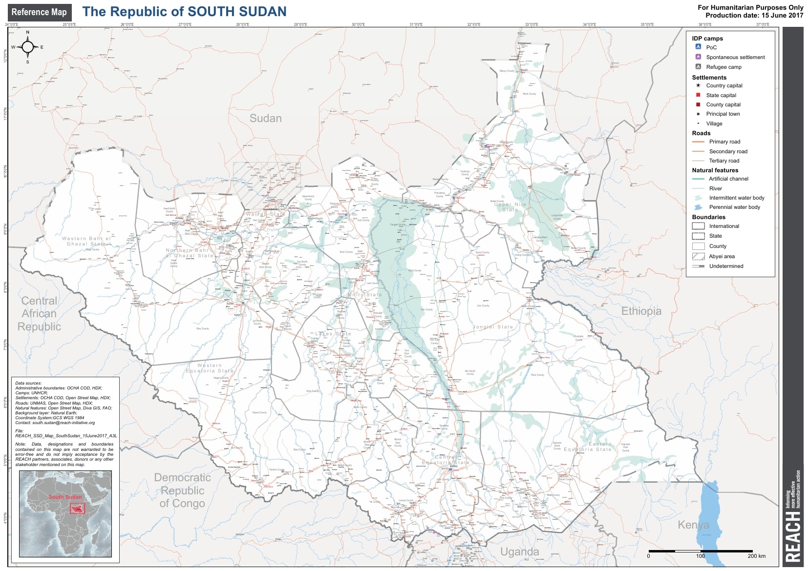
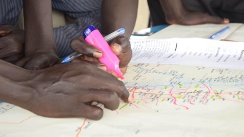
To support the efforts of humanitarian organizations operating in South Sudan, I have created various reference maps. These maps integrate diverse datasets and are refined with local insights where possible. This initiative is vital for planning and delivering aid effectively, ensuring that resources reach those who need them most in such a challenging environment.
States Atlas
Together with the South Sudan reference map I published also a National Atlas which report the detailed location of several small villages, making use of the Humanitarian Data Exchange settlement dataset.

Capital Juba
Juba, the capital of the Republic, features very few landmarks and tarmac roads but is characterized by a complex labyrinth of unpaved and unnamed roads that weave from the city center to its outskirts. This makes it challenging at times to discern the exact neighborhood one is in. To aid NGOs during their annual cholera responses, I developed a city reference map that details all neighborhoods, main roads, and building footprints.
This base map proved to be crucial in the summer of 2016, when Juba experienced a sudden and violent outbreak. The violence forced many citizens to flee their homes, seeking protection and humanitarian assistance in various locations across the city.


Use the share button below if you liked it.